Generating Your Map Report
Processing GPS data and creating detailed maps...
This typically takes 15-30 seconds
Map Area Report
North Star Group, Inc.
Report #55
Map Area Overview
| Map ID | 55 |
| Mapped Date | July 08, 2025 at 10:26 |
| Area | 718 m² (7729 ft²) |
| Dimensions | 26.6 m × 30.5 m (87.2 ft × 99.9 ft) |
| Mapper | T5 |
| Photos | 8 captured |
| GPS Points | 176 recorded (~289 ft walking path) |
| Address | McGill Avenue, Hannon Park, Mobile, AL |
| Personal Notes |
test
|
| Location |
30.684695°N, -88.079025°W 📍 View on Google Maps → |
Map Area Data & Downloads
📊 Area Geometry (GeoJSON)
{"type": "Polygon", "coordinates": [[[-88.07915738791979, 30.68475510927917], [-88.07915789083398, 30.684754815912566], [-88.07915805740734, 30.684754316144566], [-88.07915797516887, 30.68475402148011], [-88.07915780701495, 30.68475381008418], [-88.07915822611011, 30.684750792599047], [-88.07915837581761, 30.684744537076657], [-88.07915895934894, 30.684741403871648], [-88.07916023776687, 30.684741446777], [-88.07914959541601, 30.684708743662256], [-88.079139787374, 30.684704277156804], [-88.07913801910117, 30.684697767163062], [-88.07914263407794, 30.684692105003077], [-88.07914198133497, 30.684683160524777], [-88.07913349896579, 30.68467785720944], [-88.07913083539702, 30.684669205823223], [-88.07913257412471, 30.684662228662887], [-88.07912252918028, 30.68465434749252], [-88.07911673627791, 30.684643387316957], [-88.07911161640706, 30.68463439998219], [-88.07911647091117, 30.684626361452843], [-88.07910343035348, 30.684617132222723], [-88.07910468124363, 30.68461083702559], [-88.07910070053416, 30.684609751188525], [-88.07910068393315, 30.68460427747732], [-88.07910012735978, 30.68459413684909], [-88.07907911996837, 30.68460108822803], [-88.07909485088469, 30.684581246261747], [-88.07908743918195, 30.68457890914088], [-88.07909264373357, 30.68458716481093], [-88.07909861203487, 30.68459403774738], [-88.07910355050328, 30.684596174140328], [-88.07910603786229, 30.684594016529854], [-88.07910973460947, 30.6845968926619], [-88.07910307075838, 30.684593128871782], [-88.07910458939566, 30.684599226831885], [-88.07910498496639, 30.684597806773912], [-88.0790903030253, 30.684600995238505], [-88.07908174752951, 30.68460608155752], [-88.07907026632232, 30.684606015246576], [-88.07905417527888, 30.68460013784647], [-88.07904090563038, 30.684599373658465], [-88.07903096114683, 30.68460810865581], [-88.07902676075396, 30.684603938345443], [-88.07902365465895, 30.684604204942072], [-88.0790231364564, 30.68460491790107], [-88.07902557823142, 30.6846036947325], [-88.07903678609686, 30.68460823724017], [-88.07903678609686, 30.68460823724017], [-88.07903634511847, 30.68461186800878], [-88.07902956085861, 30.684612859950274], [-88.07902678398413, 30.684610706143516], [-88.07902447006228, 30.684614216970253], [-88.07901482552919, 30.684611318631447], [-88.07900721871415, 30.68461271165732], [-88.07899807190137, 30.684607090151395], [-88.07899177107056, 30.684610065717344], [-88.07898579928943, 30.684605792457198], [-88.07897345829045, 30.68460332703478], [-88.07896599394176, 30.68460149663528], [-88.07895762902217, 30.684597111432886], [-88.07894812678428, 30.68459967009594], [-88.07893786601112, 30.684601454811318], [-88.07892672425739, 30.684600111387535], [-88.07891615841103, 30.684601451405484], [-88.07890698944091, 30.684602708630788], [-88.07890240620759, 30.684605705820232], [-88.07890163987634, 30.684607937996862], [-88.07890680389647, 30.68460247095452], [-88.0789069950479, 30.68460241266109], [-88.0789069950479, 30.68460241266109], [-88.0789069950479, 30.68460241266109], [-88.0789069950479, 30.68460241266109], [-88.0789069950479, 30.68460241266109], [-88.0789069950479, 30.68460241266109], [-88.0789069950479, 30.68460241266109], [-88.0789069950479, 30.68460241266109], [-88.0789069950479, 30.68460241266109], [-88.0789069950479, 30.68460241266109], [-88.0789069950479, 30.68460241266109], [-88.07890122389078, 30.684580180978816], [-88.07890122389078, 30.684580180978816], [-88.07890122389078, 30.684580180978816], [-88.07890122389078, 30.684580180978816], [-88.07890122389078, 30.684580180978816], [-88.07890122389078, 30.684580180978816], [-88.07890122389078, 30.684580180978816], [-88.07890122389078, 30.684580180978816], [-88.07890122389078, 30.684580180978816], [-88.07890122389078, 30.684580180978816], [-88.07890122389078, 30.684580180978816], [-88.07890122389078, 30.684580180978816], [-88.07890122389078, 30.684580180978816], [-88.07890281534436, 30.684580789968212], [-88.07890373152412, 30.68458625187068], [-88.0789009017791, 30.684592118401323], [-88.07890175134283, 30.684600536585656], [-88.07890172478187, 30.68461002341958], [-88.07890329375543, 30.684618824118743], [-88.07890458369418, 30.684627281611323], [-88.07890455535085, 30.684636628228603], [-88.07890398924211, 30.684647087103617], [-88.07890398730976, 30.68466048323417], [-88.07890307341434, 30.684671231378797], [-88.078907139141, 30.684682228099366], [-88.0789068983058, 30.684696330892173], [-88.07890620986471, 30.684704305083823], [-88.07890708833658, 30.684713543530044], [-88.07890461910513, 30.684721767173475], [-88.07890312134437, 30.6847301808119], [-88.07890296903113, 30.68473857362242], [-88.07890388970246, 30.684749472271672], [-88.07890439323074, 30.684757193796], [-88.07890204661038, 30.684763263542425], [-88.07890023682874, 30.684773108374074], [-88.07890210826355, 30.684782125893985], [-88.07890489301629, 30.684790824526953], [-88.07890305099677, 30.684799726824178], [-88.07890355895836, 30.68480602115083], [-88.07890437940131, 30.684820386901038], [-88.07891253013614, 30.684829427958306], [-88.07891433487883, 30.684839342898588], [-88.07891236353554, 30.684846583283928], [-88.07891502161382, 30.68485282916098], [-88.07891624290639, 30.68484601866373], [-88.07892236111618, 30.68484477020379], [-88.07893113885741, 30.684845691308155], [-88.07894140656327, 30.684844315658317], [-88.07895104663659, 30.68484315642014], [-88.0789615041623, 30.68483933464615], [-88.07897195262754, 30.68483938502692], [-88.07898011124185, 30.68483826982064], [-88.07898984832173, 30.684838563845688], [-88.07899852967377, 30.684838559879925], [-88.0790088004624, 30.68483857614924], [-88.07902128509268, 30.684838826538552], [-88.079027101822, 30.684842710125764], [-88.079038447333, 30.68484428828928], [-88.07904183156055, 30.684844018005215], [-88.0790545994321, 30.684843785027383], [-88.0790623065489, 30.68484425340759], [-88.07907389451805, 30.684846734960242], [-88.0790799137649, 30.684846120814516], [-88.07909269194275, 30.68484704553857], [-88.0791051812298, 30.68484781638868], [-88.0791145225602, 30.684848245554345], [-88.07912228160791, 30.684848675460177], [-88.07913319681529, 30.684846027453386], [-88.07914288664745, 30.684844173391742], [-88.07915421385847, 30.684842973515288], [-88.07916371481977, 30.684841115789908], [-88.07917230706781, 30.68483685502739], [-88.07917555925135, 30.684834727633984], [-88.07917814172299, 30.684827949319242], [-88.0791756758247, 30.684821029641114], [-88.0791749482827, 30.68481096149147], [-88.07917102757764, 30.684800624232757], [-88.07916938109942, 30.684789780695574], [-88.07916587916523, 30.68477984682595], [-88.07916200983024, 30.684770822608588], [-88.07915686335231, 30.684762626699165], [-88.07915628038869, 30.68475368470837], [-88.07915719290392, 30.6847477362013], [-88.07915583759515, 30.68474978070329], [-88.07915827450636, 30.68475562730117], [-88.07915817054415, 30.684757929225988], [-88.07915712669191, 30.68475958837468], [-88.07915713875727, 30.684760259998143], [-88.07915713875727, 30.684760259998143], [-88.07915713875727, 30.684760259998143], [-88.07915713875727, 30.684760259998143], [-88.07915713875727, 30.684760259998143], [-88.07916388042854, 30.68476819545591], [-88.07916384465545, 30.684768826014395], [-88.07916502577046, 30.684770382949694], [-88.0791640776663, 30.684769694522593], [-88.07915738791979, 30.68475510927917]]]}
📄
GeoJSON
Web mapping standard
🌍
KML
Google Earth Pro
🗺️
Shapefile
ArcGIS / QGIS
🔧
QGIS Package
QGZ with photos
📸
Photos ZIP
All 8 images
📦
Full Package
All formats + photos
💡 For Community & Technical Use:
- QGIS users: Download "QGIS Package" - includes geometry + geotagged photos
- ArcGIS users: Download "Shapefile" for geometry + "Photos ZIP" separately
- Google Earth: Download "KML" and import to see area with satellite imagery
- Web apps: Use "GeoJSON" format for most web mapping applications
🔗 External Lookups
External links open in new tabs
Street View Map
Street map unavailable.
Satellite View
Satellite imagery unavailable.
Map Area Photos
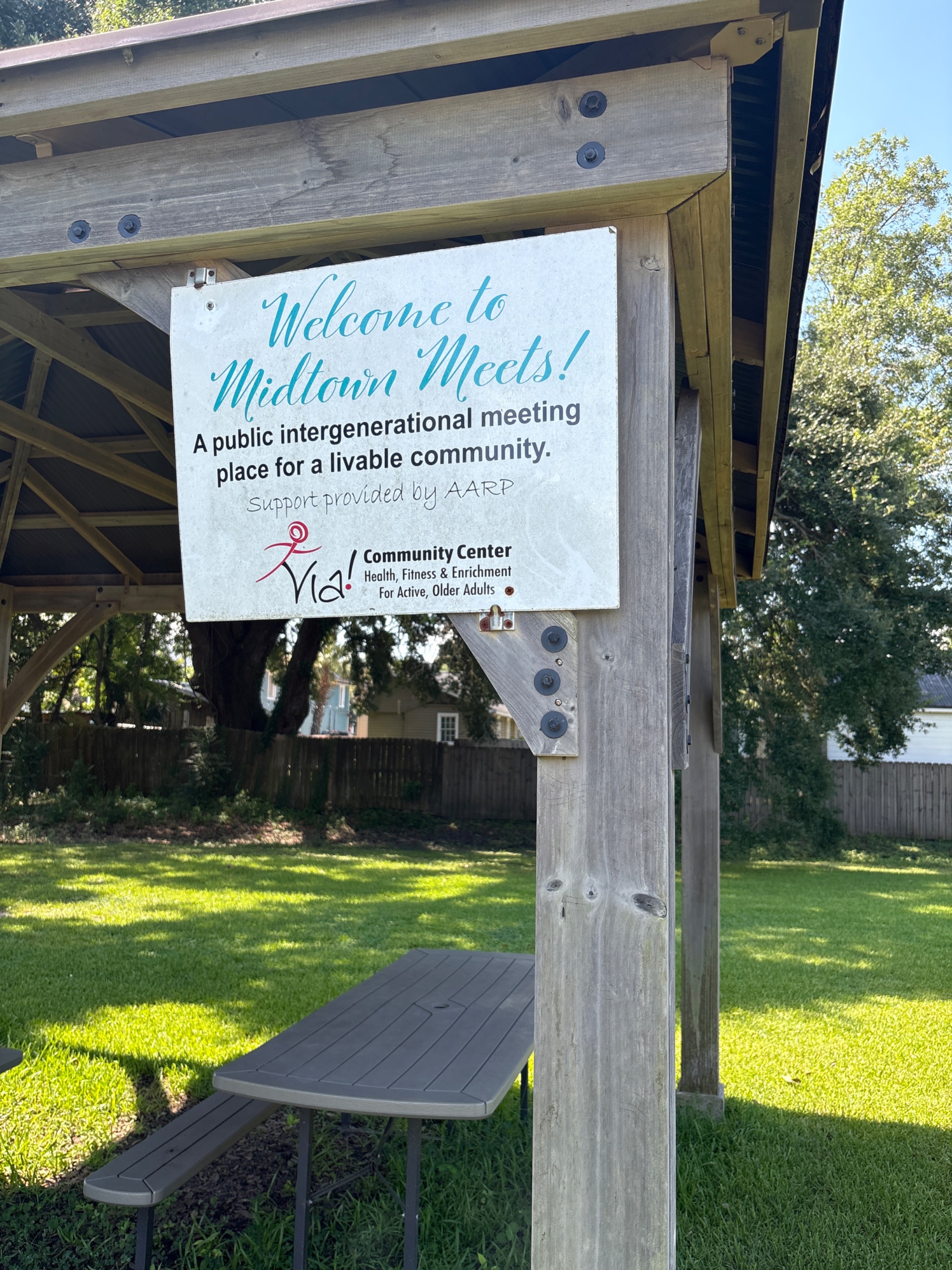
Photo 1 – July 08, 2025 10:36
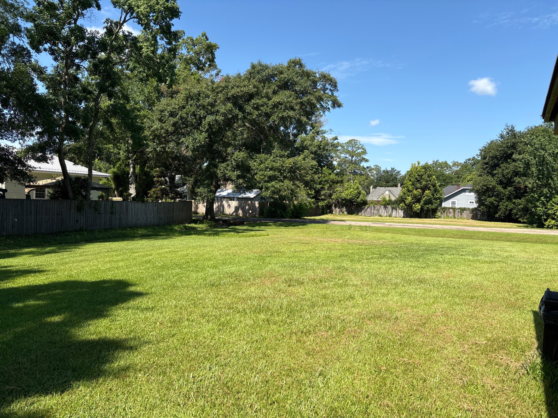
Photo 2 – July 08, 2025 10:36
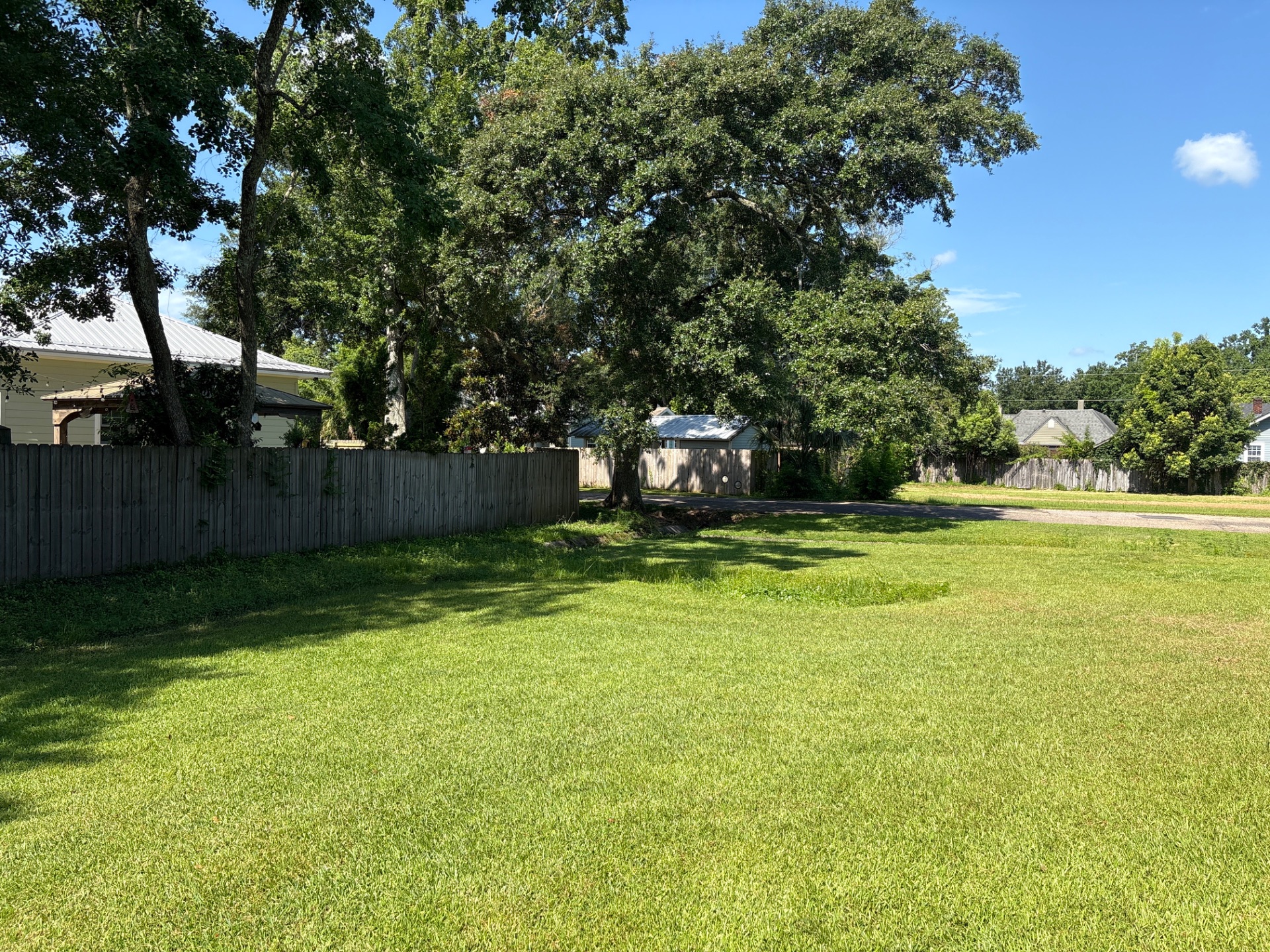
Photo 3 – July 08, 2025 10:36
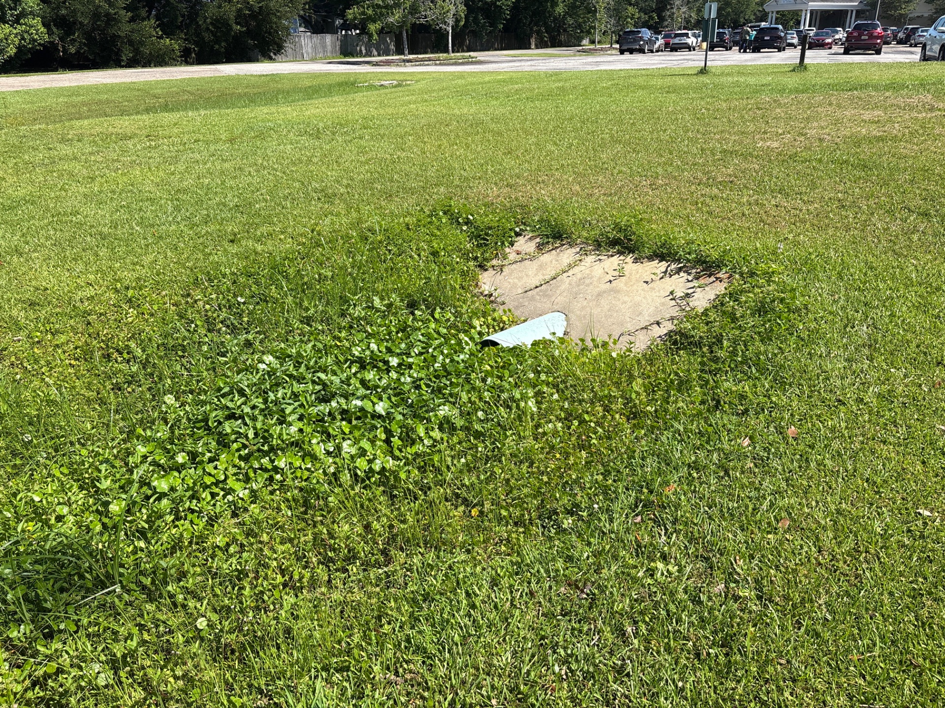
Photo 4 – July 08, 2025 10:36
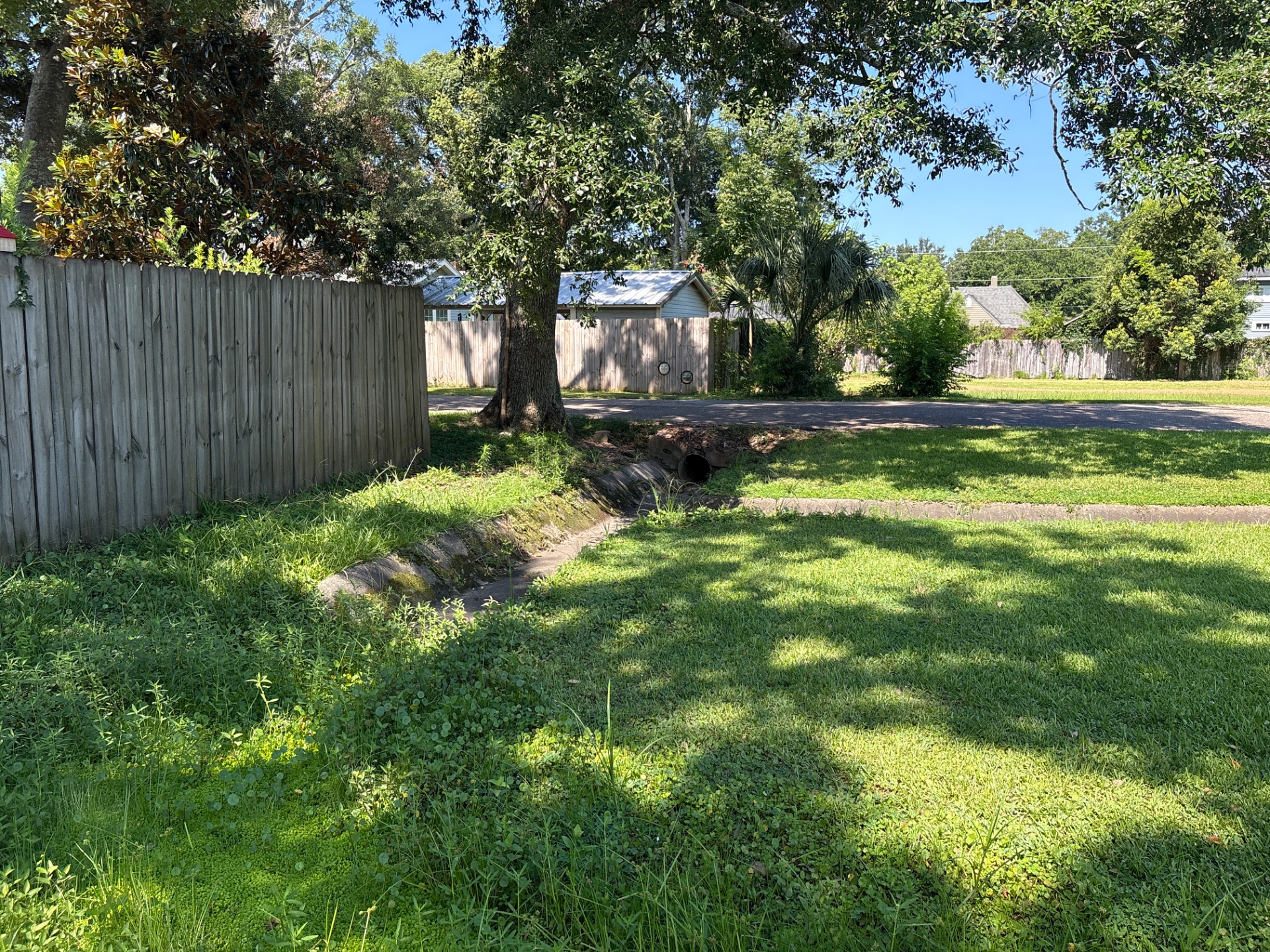
Photo 5 – July 08, 2025 10:36
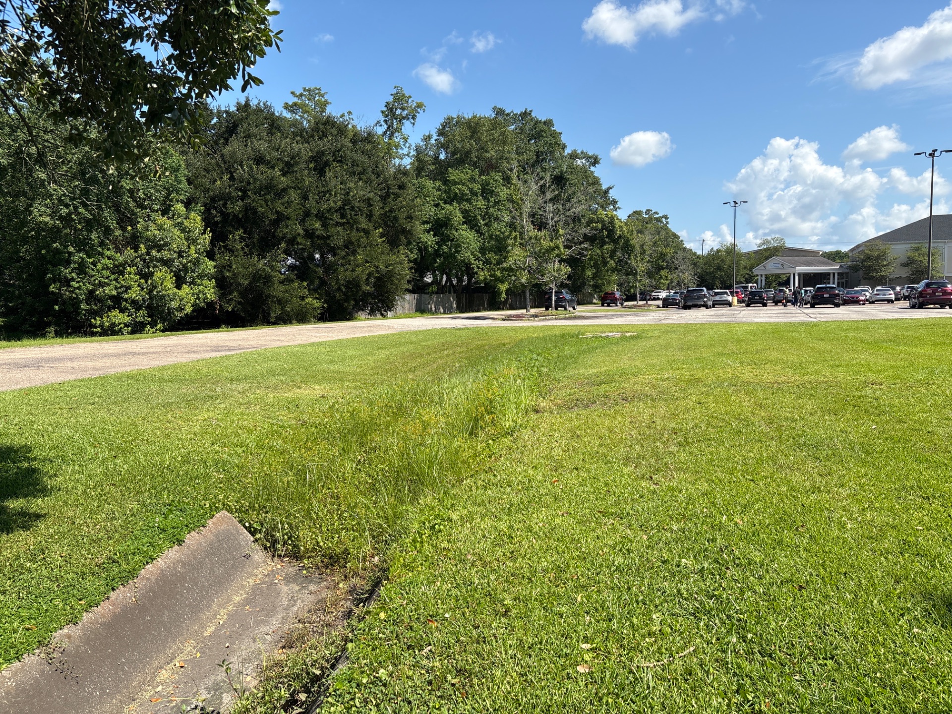
Photo 6 – July 08, 2025 10:36
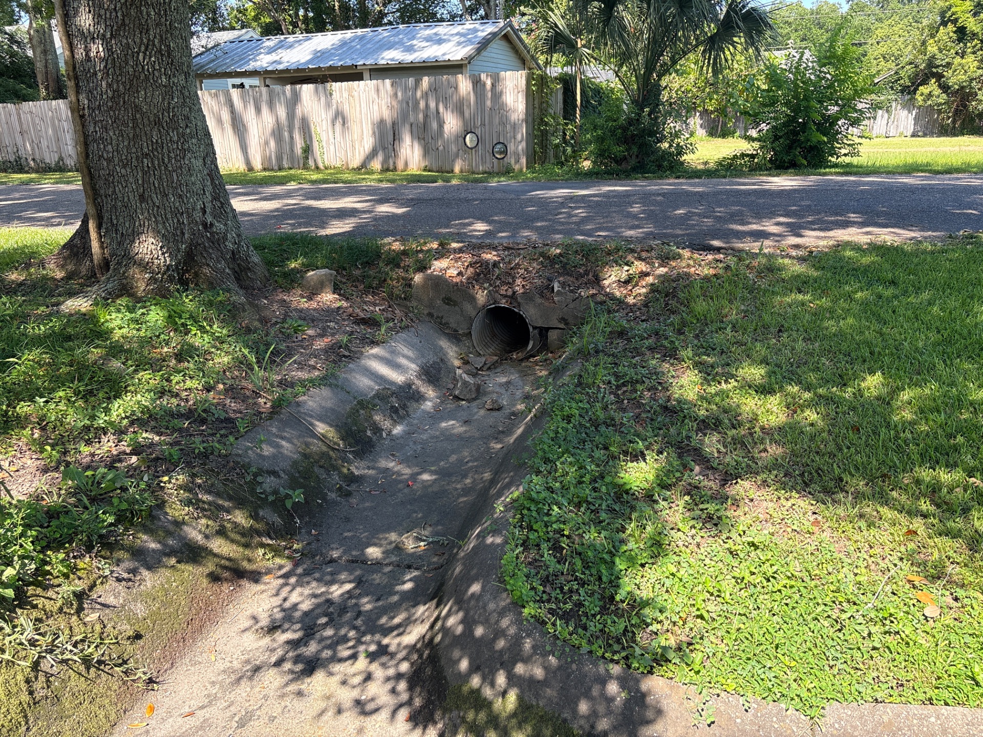
Photo 7 – July 08, 2025 10:36
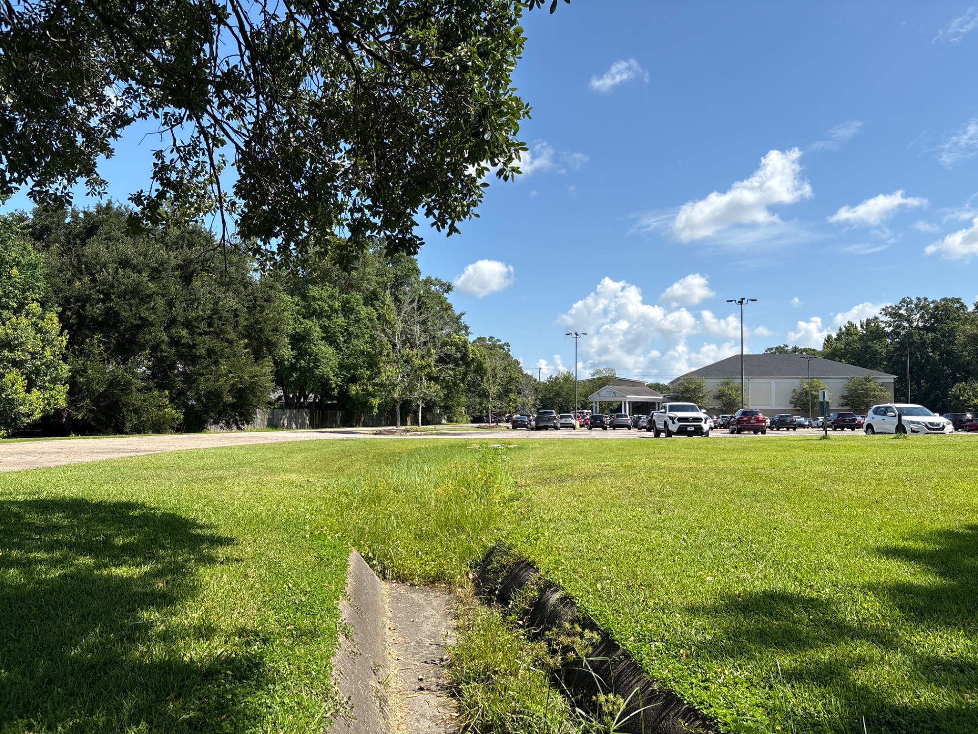
Photo 8 – July 08, 2025 10:36